01 / COMMUNITY RESOURCE ACCESSIBILITY
AccessMap↗
See where community services fall short.
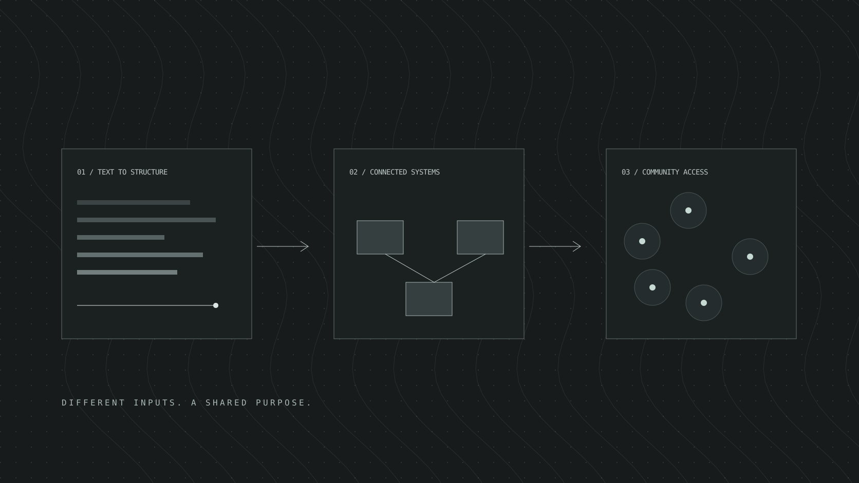
Mapped 100+ community resources using public service directories and U.S. Census data. A geospatial pipeline measures each census tract’s distance to its three nearest services, identifying 12 underserved tracts. An interactive dashboard lets users explore access gaps across three service filters.
100+community resources
12underserved tracts
3service filters
Python / GeoPandas / Pandas / Streamlit
ACCESSMAP / SYSTEM ARCHITECTURE+ + +
Directories
Census data
Resources
GEOSPATIAL PIPELINEGeoPandasTract distances to nearest services
Community access gaps